[VOICE 2.5 released: September, 2006]


VOICE™ : Vector Overlay Information Classification Extrapolation.
Open (.shp), edit, project, analyze, annotate, layout a legend, and print as a map. It overlays 2D .shp files. Select objects to display attribute, Db, or Soil Db data. (Import Soil DLG to SHP) Select layer-color-fill by attribute for map classification. Create the Legend and transform the layers into desired projection. Preview placement of Legend: Print Layout then print the map. VOICE is a 2D overlay with database attributes, not an image processor nor 3D synthesizer. Version 2.0 of GCTPC (c code) was rewritten into pascal for use in displaying data at various projections. To access the 'real' GCTPc, retrieve the file gctpc20.tar.Z by anonymous ftp from edcftp.cr.usgs.gov. Be advised that some .shp files have undocumented-proprietary links within the file and this program will Not Save these if the file is saved. It does have the capability to link attributes to external database files... that will not be read by other .shp file programs. This program also strips off any 3D Z or M measurements.
the new look... use the Menu, toolbar buttons, Right Click pop-up menu, or [Ctrl][Alt][Shift] and Mouse Left Click to activate-control Editing.
Locatable Editor Toolbars:
Map Projection parameters another way
Map Projection parameters another way
Map Projection parameters
Map Projection input ranges
Maps that use NRCS SSURGO data must show the source and date. The maps should also contain the following notation: This Soil Survey Geographic (SSURGO) data base was produced by the U.S. Department of Agriculture, Natural Resources Conservation Service and cooperating agencies for the Soil Survey of _______ County, __________. The soils were mapped at a scale of ______ with a _______ acre minimum size delineation. Enlargement of these maps to scales greater than that at which they were originally mapped can cause misunderstanding of the detail of mapping. If enlarged, maps do not show the small areas of contrasting soil that could have been shown at a larger scale. The depicted soil boundaries and interpretations derived from them do not eliminate the need of onsite sampling, testing, and detailed study of specific sites for intensive uses. Thus, this map and its interpretations are intended for planning purposes only. Digital data files are periodically updated. Files are dated, and users are responsible for obtaining the latest version of the data.
Probably true for NATSGO and STATSGO too, the above is copied from the SSURGO .pdf : Miscellaneous Publication Number 1527. January 1995.
Maps that use NRCS STATSGO data must show the source and date. The maps should also contain the following notation: The soil information used for this map was Natural Resources Conservation Service 199_ STATSGO data. STATSGO was compiled at 1:250,000 and designed to be used primarily for regional, multistate, State, and river basin resource planning, management and monitoring. from the STATSGO .pdf: Miscellaneous Publication Number 1492. 1991.. September 1995.
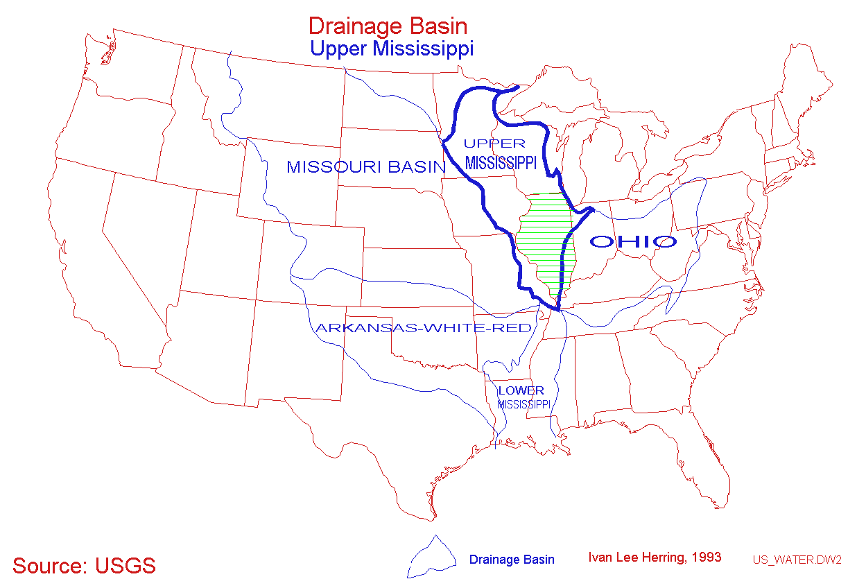
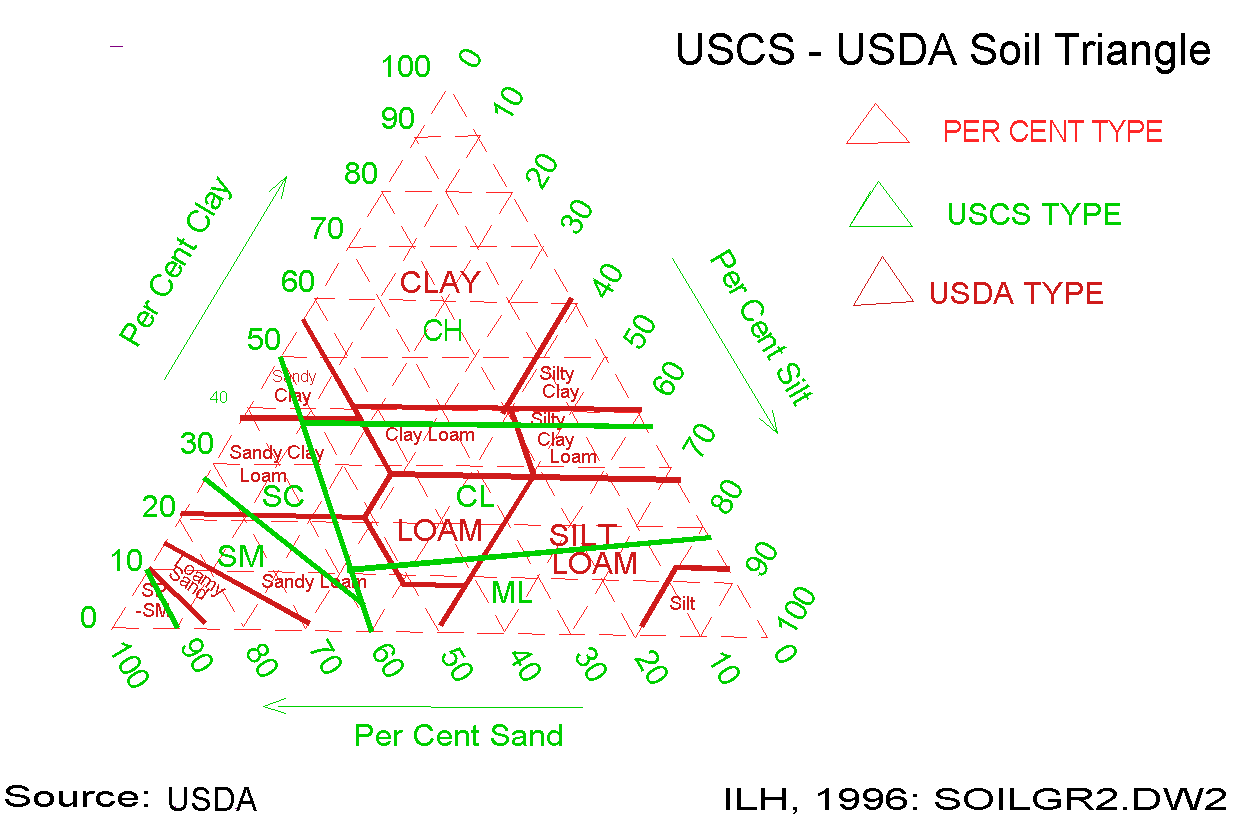
2 of my favorite graphics

