

VR GIS
This page updated: February, 2011
Image Locatable Holographics (ILH)™
Locatable™ 1.0: Locatable is installed as a part of the ILH suite. See ilh_install.html for a description of the files installed.
- New to 1.0: changed version number so all ILH programs are the same version number.
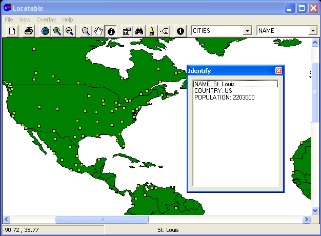
- New to 0.0 is ___. Locatable is a Geographic Database Viewer. This program uses ESRI® Mapobjects™ LT to display ILH-VR GIS project coverage-location on geographic layers. This also will validate that the ESRI® Shape .shp files created from DLG's and the Locatable database of ILH data are software (file) compatible with the .shp format. Source code is NOT available.

Map Projection parameters another way
Map Projection parameters another way
Map Projection parameters
Map Projection input ranges

 "ESRI and Mapobjects are trademarks of Environmental Systems Research Institute, Inc."
Copyright© 1991..2011 by Ivan Lee Herring


