

VR GIS
This page updated: February, 2011
VR GIS: Holographics at Sourceforge
Image Locatable Holographics (ILH)™
Holographics™ 1.3... . Holographics is installed as a part of the ILH suite.
- New to 1.3: .spud file revised.. effects added
- New to 1.2: Solar system Creator allows creation of multiple planets w/Rings w/moons, Asteroids, Comets, Debris Fields, 3ds files can orbit objects.
- New to 1.0: changed version number so all ILH programs are the same version number.
- New to 0.0: Totally revised from previous ILH Holographics, what was here is now dissipated.

I would imagine all the e-mail links included with the data file are invalid by now, due to becoming spammed.
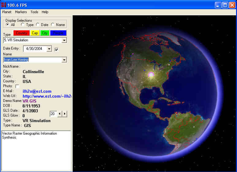
- Holographics displays the Earth as viewed from 'space'. The location of people and their attributes are available to be used in various adjustments.
- Displays
- All the same 'type' displayed
- Only the selected person displayed
- All dated previous displayed
- Markers
- The shape of the markers can be changed
- A 'Temporal flow' of the dates can be displayed
- The 'Selected' persons marker can be displayed Large and Highlighted
- Data input for the People viewer
- Tools
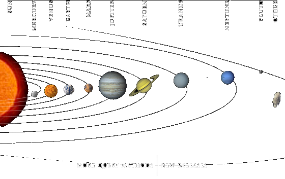
- Solar System Creator: New to 1.3 this enables designing your own solar system with planets (moons and rings), asteroids, comets, debris fields and satellite-space ships orbiting them. Version 1.4 will hopefully incorporate this as a Menu selectable replacement for the Person selection on the left side of the form, instead of a separate program called from the menu.
- New to 1.3:
- Make asteroid proxies so Debris fields can actually be 'fields' of debris. This can be used to create 'Rings' of multiple little objects orbiting the planet.
- Todo:
- Comets are a 'Sprite', the todo is for Comet to have a particle system can create and leave a 'trail'.
- Hints:
- The Menu has options to change the Moons scale: Thus the scale can be changed so the moons, etc can actually be seen. In the sample .spud files there are planets with moons at the correct distance and size that are not visible due to the overall scale required to fit several planets at their correct distance.
-
See Astronomical Information for links to similar software, and data sources. It is suggested to download all the NASA planet maps and place in the Earthdata directory. They will be automatically loaded by the program. Download Celestia and copy the models and textures into the EarthModel directory for use by EarthABCDE. It is possible to move all the data from EarthModel into Earthdata so both programs use the same data.


 Copyright © 1991..2011 by Ivan Lee Herring


